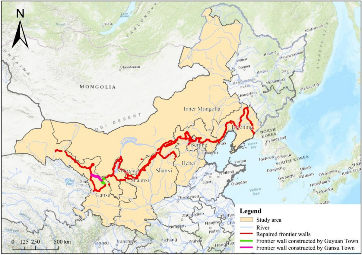
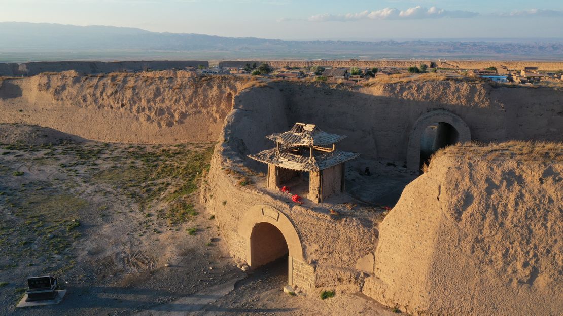
When designing a Great Wall of China map-guided tour, what places to visit, their distance, and their difficulty of the routes are important. While Catherine Lu Tours gives excellent information about various sections (restored vs wild, travel distances, hiking times, etc.), to fully map out the options we need to supplement with external details. This guide combines both to help you plan the perfect trip, with insights on the most popular routes, map locations, approximate distances, and tips for visitors.

Key Great Wall Sections on the Map & Distances
The following are some of the famous parts of the Great Wall, their location relative to Beijing, the distance and time spent have been walking or hiking in the area:

Distances from Beijing = by road (approximate driving distance).
Lengths = sections generally open to tourists / frequently hiked.
Routes = some overlap (e.g., Jiankou–Mutianyu connection).
Mapping Tips for Planning Your Visit
1. Decide on how much hiking you want
If you prefer easy walks with good infrastructure, pick sections like Badaling or Mutianyu. For rugged terrain and wild wall portions, choose Jinshanling, Simatai, or Jiankou.
2. Think about travel time & transport
Sections further from Beijing need more travel time. Jinshanling and Simatai typically require ~2-3 hours driving. Mutianyu and Badaling are closer. Use your map to see road access and elevation changes.
3. Restored vs. wild sections
Restored means easier walking, safety, and amenities; wild means more adventure but also more challenges (steep stone, uneven paths, fewer facilities, possible closure). Maps that show “restored boundary” or “wild wall portions” can be very useful.
4. Weather & seasons matter
During winter there may be some steep parts which are icy; during summer may be hot. The most comfortable conditions are expected to be in spring and autumn. Check elevation with a map--those parts higher are cooler, and are more exposed.
5. Combine nearby sections
Some map guides show how you can do combinations (for example: Mutianyu + Jiankou in one hike) if logistics allow. This gives variety but requires planning.

Why Catherine Lu Tours + Maps & Routes Go Well Together
While Catherine Lu Tours may not provide a full “wall map” in the sense of detailed cartographic charts, they do give excellent info about:
How far each section is from Beijing (travel distance/time).
Hiking times for sections.
Whether the section is restored vs partially wild.
The number of watchtowers, forts, etc., in some parts.
Using that data along with map info from other travel sources allows you to visualize your route, select sections that match your interest and stamina, and understand how much time to allocate.
Suggested Itinerary Based on Map Sections
Here are sample itineraries using map insight + section info:
Day Tour of Beijing: Mutianyu or Badaling - less travel, moderate exercise, excellent scenery.
Two-Section Adventure: Jinshanling + Simatai + to make the scenery more dramatic; more traveling is necessary.
-
Hiking Route Wilder: Jiankou and some of Mutianyu or Jinshanling; this area is rough and should be well planned out.

Conclusion
The Great Wall of China Map is a powerful information that any traveler can utilize, as it makes you see the locations of the sections, and the distances, and the routes, and even know what you will see beforehand. At the same time, although Catherine Lu Tours provides useful section-specific data (travel times, hiking times, condition), mapping sources assist you in connecting everything to each other in a visual manner. With the help of sections which suit your physical level, travel time, and interest in the level of scenery/restoration, you may produce a memorable trip to the Wall which will fit you perfectly.
FAQs
Q: Are there sections shown on most maps that are wild or partially unmaintained?
A: Yes, Jiankou and parts of Simatai are examples. Maps and route guides often mark restored vs wild portions. Always check recent travel reports.
Q: How much walking/hiking per section should I expect?
A: It varies: restored parts might be 2-5 km; wild ridge hikes like Jinshanling or Jiankou can go 10-20 km depending on exit points.
Q: Can I see multiple sections in one trip?
A: Yes, but you need to plan transportation and time. Sections on the same compass direction can sometimes be combined if roads allow.
Q: What is the best time of the year that a Great Wall of China map should be used to travel and why?
A: Spring (April-May): Generally spring has nice weather and clearer skies. Fall (September-October): Generally, spring has nice weather and clearer skies. The decrease in temperature can be foretold as the altitude increases to a greater level of increase with the help of altitude maps.

